GIS Mapping
Kaula Bandar through the Lens of Cutting-edge Technology
In August 2010, PUKAR researchers collaborated with HSPH student Dana Thomson on a project to perform Geographic Information Systems (GIS) mapping of Kaula Bandar. The team first chose to map key locations that are of social and public health interest to the community, including religious institutions, political offices, ration shops, doctor’s clinics, pharmacies, industries, water motors, garbage disposal sites, toilets, public spaces, and entryways of lanes. The team then placed Kaula Bandar’s households on the map. Finally, by integrating this map with data from PUKAR’s 2009 Baseline Needs Assessment, the team was able to graphically represent the local distribution of various diseases, water and sanitation indicators, and livelihood indicators in the community.
Dana and the PUKAR team faced several challenges while trying to perform GIS mapping of Kaula Bandar. Kaula Bandar is an extremely dense community – our current estimates suggest that it is 17 times more dense than daytime Manhattan. Given that GPS devices have a margin of error of up to 10 meters, this made it very difficult to accurately mark lane entry points and living structures in the community, given their incredibly close proximity due to high density. For this reason, individual households, lanes, sublanes, and bylanes were marked using a creative integration of locations marked with GPS and the PUKAR team’s on-the-ground knowledge of lane routes in the community. The PUKAR team had also created an intricate location-based coding system for every household in the community, which facilitated marking of household locations on the map. This project was successful because of the combination of the PUKAR team’s extensive community knowledge and Dana’s GIS mapping expertise.
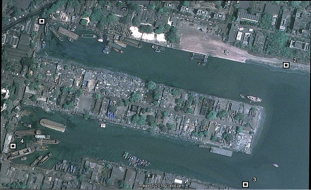
These images tell stories. For example, the following basic aerial view of Kaula Bandar highlights the community’s location on one of Mumbai’s docks with boats and barges in the surrounding water. Many Kaula Bandar residents continue to be deeply connected to the many industries associated with the Mumbai port.
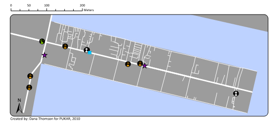
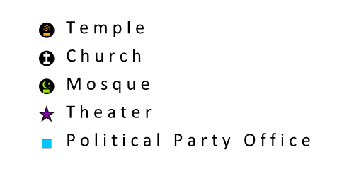
This next map reveals the multi-religious nature of Kaula Bandar, which has Hindu, Muslim, and Christian religious institutions:
This next map conveys aspects of the sanitation crisis in Kaula Bandar. There are only five small community block toilets in the local area, for a population of approximately 15,000 people. Further investigation of these block toilets suggests that there are fewer than 10 functioning toilet seats in these blocks. The map also highlights that there are only two waste bins in the area; as a result, much of the surrounding ocean has accumulated waste (also highlighted on the map).
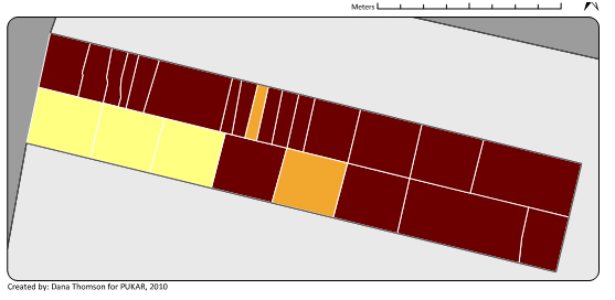
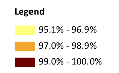
Finally, this next map highlights the fact that nearly everyone in Kaula Bandar lacks access to water and instead must purchase it on a regular basis:
**An abstract from this project was accepted for presentation by HSPH researcher Dana Thomson at the 2011 International Conference on Urban Health in Belo Horizonte, Brazil: View Abstract |
